Reforestation through Technology and Community Wisdom
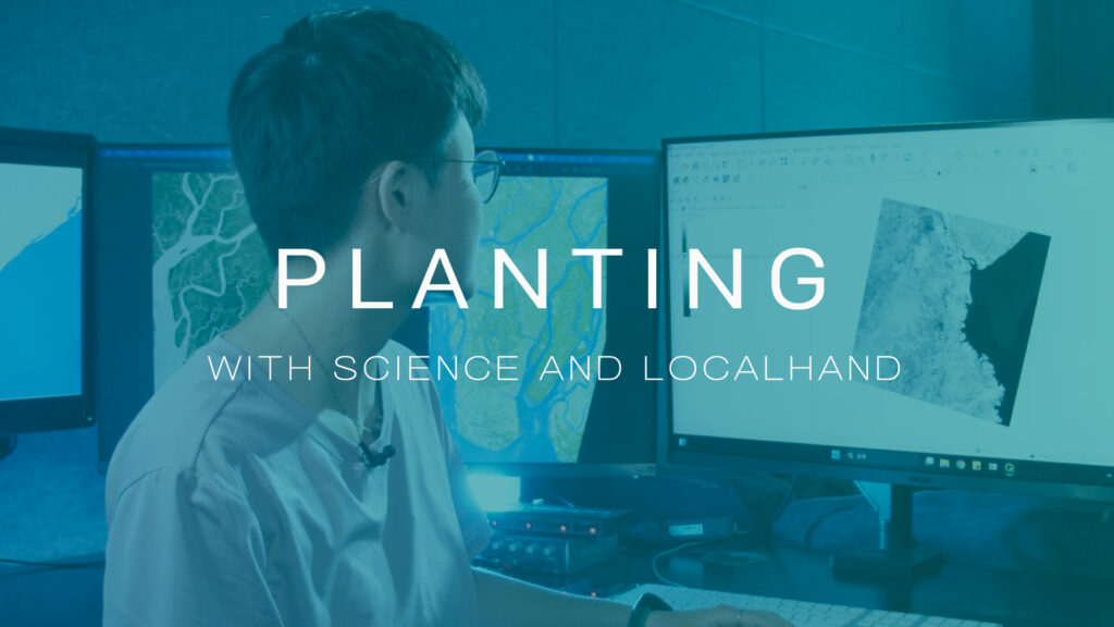
In the Bago Mountains of southeastern Myanmar, AllO2 integrates remote sensing technology, NDVI analysis, and terrain mapping to design effective afforestation strategies. High-resolution satellite imagery helps identify degraded zones, assess soil and vegetation health, and prioritize areas for ecological recovery.
But science alone is not enough. True transformation depends on local community engagement. In Myanmar, where Buddhist culture plays a central role in village life, local monks and villagers have joined our efforts, seeing forest restoration as both a spiritual and ecological mission.
At AllO2, we believe that technology enhances efficiency, but people drive lasting change. From mapping terrain with satellite imagery to the planting of each seedling, every step reflects a deep commitment to sustainable forest management and a shared vision for a more resilient future.